Things to Do in Locust Point Industrial Area
Locust Point Industrial Area is a neighborhood in south Baltimore, Maryland, in the South region and South planning district. It uses ZIP code 21230 and is bordered by Locust Point, Riverside, Baltimore Peninsula, and Key Highway. With its location in this part of the city, it offers a straightforward starting point for exploring what is happening in and around the area. If you are looking for a guide to this corner of Baltimore, this neighborhood is a useful place to begin.
Rep Locust Point Industrial Area — grab your badgeUpcoming Events in Locust Point Industrial Area Baltimore
Restaurants & Dining in Locust Point Industrial Area Baltimore
Happy Hours & Specials in Locust Point Industrial Area Baltimore
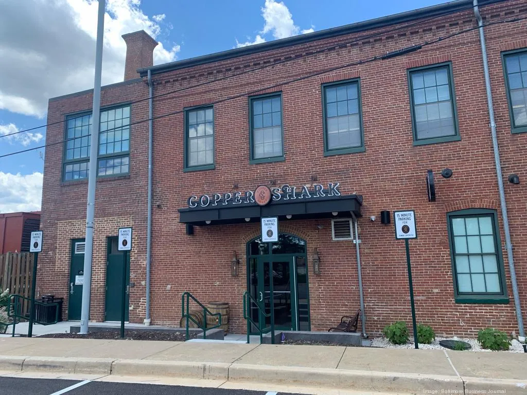
Event Spaces & Venues in Locust Point Industrial Area Baltimore

Parks & Outdoor Spaces in Locust Point Industrial Area Baltimore
Parks & Green Space
Baltimore Immigration Memorial Park
Alternate Provider - Mini Park
Hull Street at Inner Harbor
Fort McHenry
Alternate Provider - Citywide Park · 47 acres
2400 E Fort Ave
Hull Street Park
Green Space
900 Hull St
Under Armour Waterfront Park
Alternate Provider - Mini Park · 2 acres
1020 Hull St
Getting Around Locust Point Industrial Area Baltimore
Getting around Locust Point Industrial Area
Checking for shared scooters and bikes nearby…
Water taxi in Locust Point Industrial Area
Free Harbor Connector ferry service across the Inner Harbor.
Routes
- HC1Maritime Park – Locust PointWeekdays06:00-20:00
- HC2Canton – Locust Point – Maritime ParkWeekdays07:15-11:25; 15:40-20:00
Landings
- Locust Point— nearest landing · ~17 m away
Source: Baltimore Harbor Connector (weekday schedule). Landings shown as “in Locust Point Industrial Area” fall within the neighborhood boundary; others are the nearest landing by straight-line distance. Service days and hours are scheduled, not real-time.
Public Transit in Locust Point Industrial Area Baltimore
Public transit in Locust Point Industrial Area
Bus, Metro, Light Rail and MARC service mapped to this neighborhood.
Bus
4 local bus stops on 2 routes
Rail
- Metro— nearest: Shot Tower Metro · ~1.0 mi
- Light Rail— nearest: Hamburg Street · ~0.9 mi
- MARC— nearest: Camden Station Marc · ~1.1 mi
Source: MDOT MTA schedule data (GTFS). Routes are mapped to a neighborhood when at least one stop falls within its boundary; nearest rail station is a straight-line distance, not a walking route. Real-time arrivals and service alerts are not included.
Community & Neighborhood Associations
Community and neighborhood organizations that serve Locust Point Industrial Area, from the Baltimore City association directory.
Locust Point Civic Association, Inc.
PrimaryCommunity Organization • Neighborhood Association
Area served: (Patapsco River/Lawrence Street)
City directory listing
Neighborhoods Near Locust Point Industrial Area Baltimore
Are you part of the Locust Point Industrial Area community?
Show your neighborhood pride! Add the To Do In Baltimore Locust Point Industrial Area badge to your website and help visitors discover all the great things about our neighborhood. More badge options
Badge size
Badge code
<a href="https://todoinbaltimore.com/neighborhoods/locust-point-industrial-area" target="_blank" rel="noopener">
  <img src="https://todoinbaltimore.com/badge/locust-point-industrial-area.png?w=250" alt="Explore Locust Point Industrial Area on To Do In Baltimore" width="250" height="188" style="max-width:100%;height:auto;border:0" />
</a>
Paste the code into your website’s HTML. The badge links to the Locust Point Industrial Area page on To Do In Baltimore, and the image is hosted by us.